Good morning. I am making to changes to my going forecast from yesterday. A winter storm is expected to impact folks who live NW of Interstate 95 late Saturday afternoon into early Sunday morning. For areas in NNJ, this will be very elevation dependent for higher snowfall totals. My map tries to reflect that. I will have another update out tonight around 10pm.
Lets take a look...
The forecast...
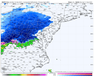
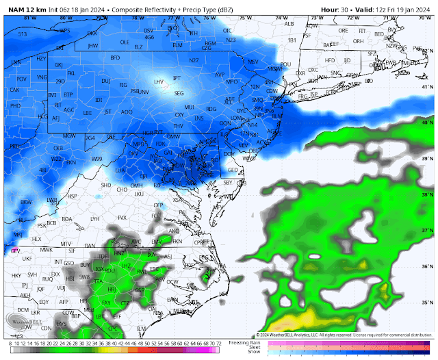
Lets look at updated model guidance to review the evolution of the storm...
Snow should start to spread into the region by mid afternoon Saturday. Most areas north of Princeton should start as snow...
As the storm continues to move in, warm air is brought with it changing any snow to rain for most along I-95 by mid evening...
By the time we get just before daybreak on Sunday, the storm is ending in areas like NJ and still lingering in southern New England..
When its all said and done this will be a decent snowstorm for some and a rainy mess for others. Here is a blend of models snowfall foreacst...
Notice the cutoff in heavy snow where the mountains are in NW NJ etc. For most in tristate is this just a nuisance.
The reason why this is not a more widespread snowstorm is due to HP to our north sliding east. This allows more warm air to move in. Notice the red high below off the Atlantic coast.
For snow to make it to 95 you need this to be more reinforced.
Stay tuned. More updates to come.


