WINTER OUTLOOK 2023 IS NOW LIVE

The 2023 Winter Outlook

Monday, February 27, 2023

Monday: No Changes to Forecast, Storm Moves in Tonight

 Good morning. There are no changes to my snowfall forecast from yesterday. The storm moves in tonight between 5 to 8pm west to east. Snow will be heavy at times late tonight into tomorrow morning. Storm ends by mid morning and lingers into the afternoon up in interior New England.

 A larger storm then is on tap to hit the area on Friday. At this time I am thinking heavy snow over New England with a mix to the south. I will be discussing this starting tomorrow. 

The snowfall forecast...


Here is the play by play...

Snow enters the area between 5-8pm depending how far east you live...


By 11pm it is snowing in all areas from I-78 north with the heaviest over NNJ into New England...


By the morning the storm starts to taper off with snow showers lingering all day up in New England...


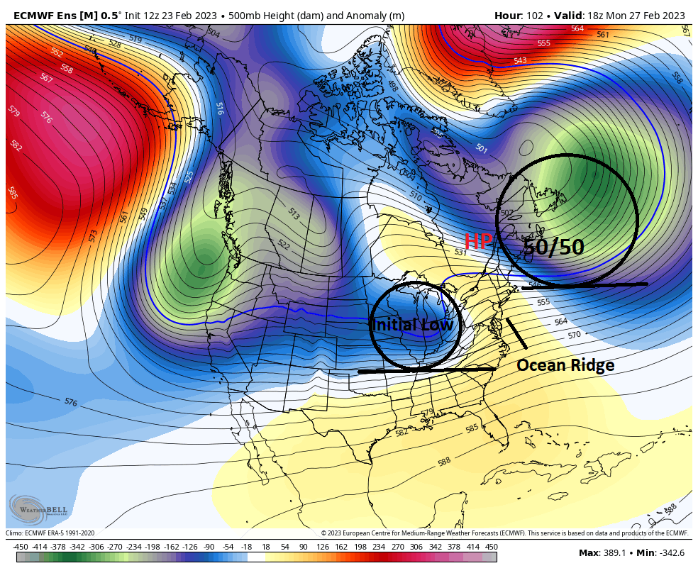
Things then warm up by mid week before the arrival of a big storm on Friday. At this time the pattern fits the interior to get blasted with heavy snow with a mix further south. What the GFS model is showing below is a good general starting point. I will be discussing this alot more by tomorrow...


Stay tuned for some live updates tonight!

Sunday, February 26, 2023

Sunday Afternoon Update: My Snowfall Forecast for Monday Night-Tuesday

Good afternoon, below is my initial snowfall forecast for tomorrow night into Tuesday. I will have a big update out early tomorrow morning to keep everyone up to speed.


Snow moves in by tomorrow evening between 5-9pm and ends Tuesday morning. 

Stay tuned for more details!

Sunday Update: Colder Trends, Snow down to NJ and PA

 Good Morning. I'll have an update out this afternoon around 2:00 p.m. In the meantime the storm for tomorrow night into Tuesday morning  is trending colder. This means you can anticipate accumulating snow all the way down to northern New Jersey and into PA. Below is a projection from the GFS model. This can be used as a rough projection for now. I'll be releasing my own snowfall forecast later what will hone in on more details.


Stay tuned for my updated forecast this afternoon.


Saturday, February 25, 2023

Saturday Update: Very Tricky Forecast Tuesday

 Good morning. Some light snow moves through the area today. Up to an inch in some localized spots but nothing too serious. Our attention then turns to Monday night into Tuesday as another storm approaches from the west. I started to talk about this yesterday and showed the area to watch for impacts. For the most part that has not changed but I added a little more detail...


Models are all over the place with this but the biggest trend has been to weaken the energy a little. The map above gives my current thinking. For areas like NW PA NNJ I think its just a sloppy mess with the most impacts to the north.


Stay tuned, more tomorrow morning. 

Friday, February 24, 2023

Friday Feb 24th: New England Snowstorm on Tap Next Week

 Good morning. Its been a while since I have posted given there has been no winter this year. However, that is about to change with a storm that will impact New England Monday night through Tuesday. At this time I think most wintery precipitation stays north of the tri-state area meaning we see mostly mixing and rain. To the north heavy snow can fall in areas like Mass, VT, NY State, etc.

Lets take a quick look..

Our weather pattern features a block in the jet stream over eastern Canada with approaching storm energy on Monday seen below....


As the initial low or storm energy approaches it runs into high pressure caused by that 50/50 low. This means the storm then redevelops off the New England coast. The whole key to this forecast is how far north this storm gets before it redevelops. I am anticipating it goes a little more north than some models are showing which means the heaviest snow is in my initial target zone below...


I favor the dark blue zone the most for heavy snow with the light blue zone seeing wintery precipitation. 

My favorite model so far for this storm has been the Canadian...


Again, that initial low you see over the lakes above then redevelops off the coast. This model shows things more north like I expect.


For NNJ NE PA S CT, I think we see a wintery mix from this. An initial period of sleet changes over to some rain and freezing rain. It can end up being a sloppy mess in higher elevations of NW NJ etc. No impacts I expect for areas to the south or near NYC.


Stay tuned. More tomorrow and frequent updates on twitter as seen on the right hand pane. 

Sunday, February 12, 2023

Sunday Note: March In Like a Lion?

 We are currently in one of the warmest and snowless winters on record in the Mid-Atlantic. Will anything change? Not for at least the next two weeks. There are signs that things can change in March but March is always a wildcard for areas near the coast. 

Northeast ski country is a different story. I think March has the chance to be a banner month snowfall wise this year. 

I will discuss more this week.