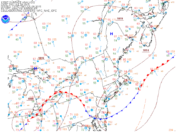
Good morning everyone. As a follow up to my Tuesday post it now looks like things will get wet again tonight as a low pressure center rides a frontal boundary over our area tonight.
You can see in the image below the front that is across the region..
We are also observing a low pressure center out just west of PA..
This low will ride along the front tonight and bring heavy showers into the area..
By Friday morning this is all clear and High pressure takes control for the weekend.
This will produce mostly Sunny ski's with temperatures in the mid 80's though Sunday.
Looking ahead into the longer range pattern, I do not see any big heat waves anytime soon. You can see below another trough will develop over the area next week which will keep things more on the cool side..
We will see spurts of hot days this summer, but overall I think this back and forth pattern holds for the rest of the season. A big driver of this is the water temperature profile of the northeast pacific.
That's all for now, thanks for checking in.


No comments:
Post a Comment