Looking at the image above you can see the orange colors over our area which represents a ridge of high pressure. High pressure spins clockwise so it brings a southeastern flow off the tropical Atlantic into our area which causes the hot and humid conditions. As in many cases, the weather on the west coast is the opposite with a trough over that area as seen by the blue colors.
I expect the above normal temps to continue through mid-month (not this hot, but marginally above average). This should not last for too long however, as the oceans support a return to the pattern we had most of the summer.
We get some relief Sunday as a front swings through the area Sat night..
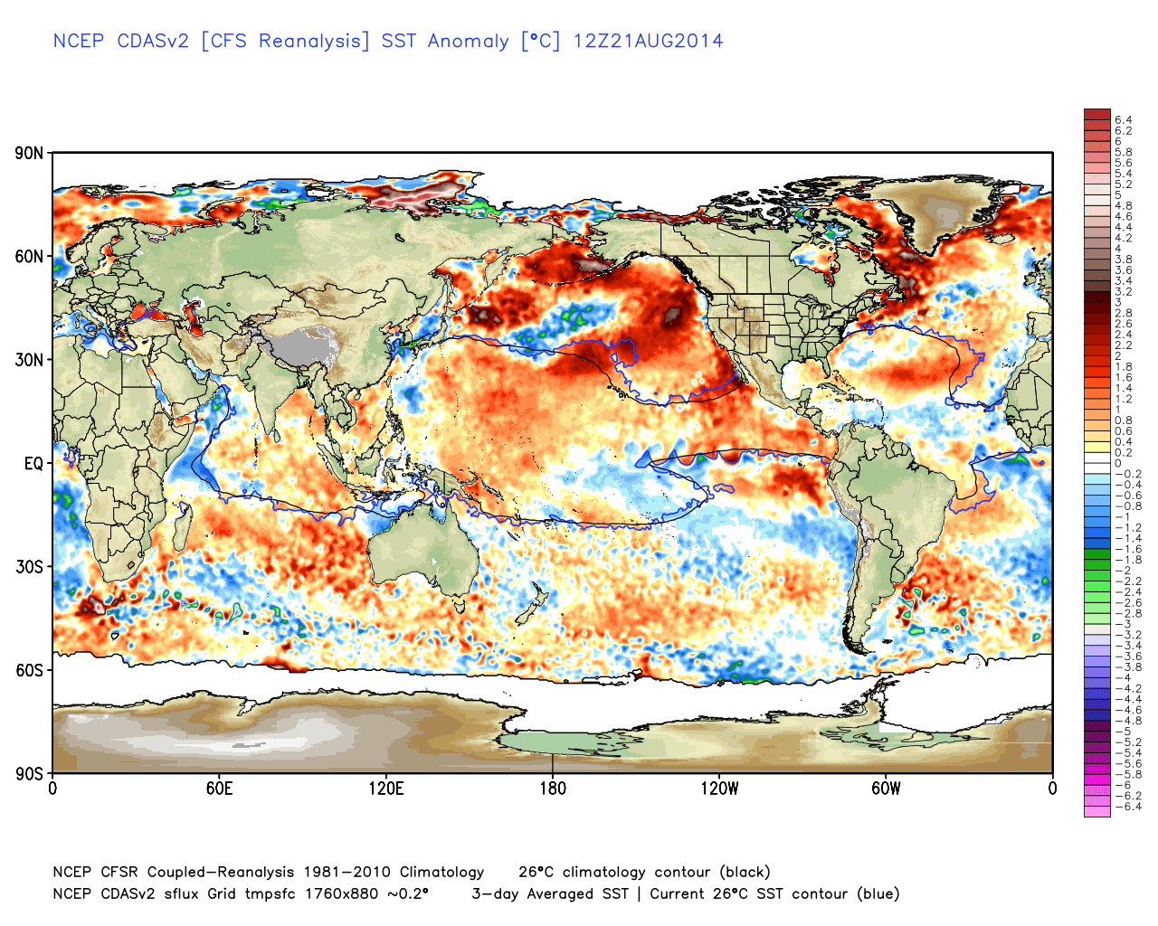
As I mentioned in the video on Winter last week, we will keep an eye on the ocean temp profiles this fall...
The water in the northeast Pacific is key. We need that to stay warm to support a cold winter. In two months we can make a more accurate assessment and evaluate other factors to determine the final result of Winter 2015.


No comments:
Post a Comment