
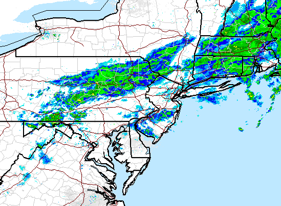
There are still lingering showers however and these will last through early this afternoon..
We then get high pressure to build back in for Wednesday and Thursday (seen below) which will result in calm and cooler conditions. Expect highs in the upper 60's and lower 70's through Friday.


At this time I do not expect a big rain event. This will just be a few passing showers at some point Friday into Saturday.
The weekend overall looks pretty good. Once the front fully passes on Saturday we should have more calm and cooler conditions with temperatures in the low 70's.
I will update again as we close in on the weekend. Also, I will definitely have the special post breaking down "El Nino" by the weekend as well.
No comments:
Post a Comment