As of now, the GFS is trying to play ball and the European is taking a flyer.
Most recent run of the GFS for Thursday night..
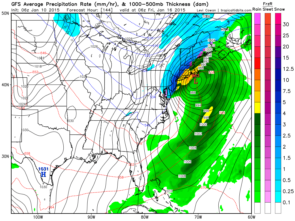

Here is why the GFS has the bigger storm..

It now is the model trying to phase all of the energy near the east coast as seen above. Don't worry if you don't understand the image, just pay attention to all the energy or red colors trying to bundle near the east coast. The more these colors come together the bigger the storm. If they come together too late the storm is out to sea like the European has.
We still need to wait till tomorrow to sort this out. You guys have seen first hand the flip flopping of the models the last few days. Expect more clarity from me at that time on what can or will occur.
Moving to Monday here is the latest GFS on the winter weather threat..

I am going to stick to my original thoughts and say this is some ice changing to rain from central and south Jersey and I think some accumulating snow from north Jersey into southern New England. It is possible ice mixes in as well in those areas too but I do think the flakes accumulate as well in the process.
I will narrow this down as well in my next update. Thanks for checking in.
No comments:
Post a Comment