WINTER OUTLOOK 2023 IS NOW LIVE
Thursday Weekend Weather Update: Weekend Will be Spared!
Kudos to the GFS weather model! It had it right from the start this week regarding tomorrows storm system by keeping it south out of the area. Up until last night, other models kept hinting at the idea that a low pressure center would track more north and effect most of our area with rain on Friday. I tended to agree with some of those models based on anticipating the GFS would correct north and west. That did not occur and the other models gave in. This is an interesting case study for winter as I begin to evaluate model performance.
Anyhow, lets take a look at tomorrow heading into the weekend. We currently have a stalled frontal boundary to our south..
Notice also the low pressure center over Illinois. That low pressure center will track eastward along that stalled frontal boundary you see to the south of Delmarva. Originally I thought that front would drift more back north than it will.
Here is the result for tomorrows weather as that low approaches..
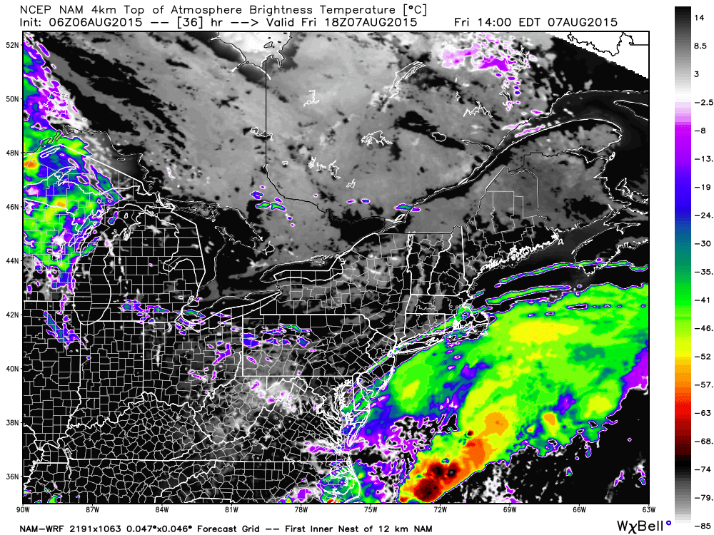
Notice tomorrow morning most of the rain stays to the south and only will effect parts of south NJ etc. By the time we get to the afternoon I think the sun will be out. The simulated satellite agrees..
That will then set us up for an excellent weekend with mostly sunny skies, low humidity and highs in the low to mid 80's!
Thanks for checking in.


No comments:
Post a Comment