Many images provided by tropicaltidbits.com
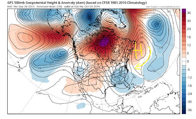
As a note the ensemble map I used in video actually was an old map by mistake, regardless the new ensemble map below still shows my concern of this storm making a slight shift more north than modeled.
Here is the bottom line as of tonight:
- All signs point to a land falling hurricane Sunday
- Right now most likely spot is the Outer Banks into southern Va
- Winds over 70 mph with beach erosion and torrential rain within 70 miles of the storm center
- To the north over NJ, NYC, heavy rain, gale force wind gusts (coast), and extremely rough ocean surf Sunday into Monday
- There are two other scenarios they are:
- Storm goes out to sea (European model)
- Storm drifts more north than modeled (my concern)
- At this time I think a 60% blend of the GFS model and a 35% blend of European makes sense in nailing down this track
- This would mean a landfall just to the north of the Outer Banks
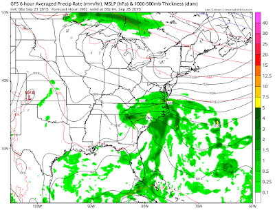
- Prior to the main storm impact, Friday will feature rain and wind from tropical energy currently along a stalled front.
- When it is all said and done at the very least I am thinking we see another 2-5" of rain through Monday
More tomorrow morning. Stay tuned!


