WINTER OUTLOOK 2023 IS NOW LIVE

The 2023 Winter Outlook

Tuesday, May 30, 2017

Tuesday: Taking a Look at The Week Ahead

Good morning. The holiday weekend ended up being ok. We saw rain yesterday but Saturday and Sunday turned out to be decent days. 

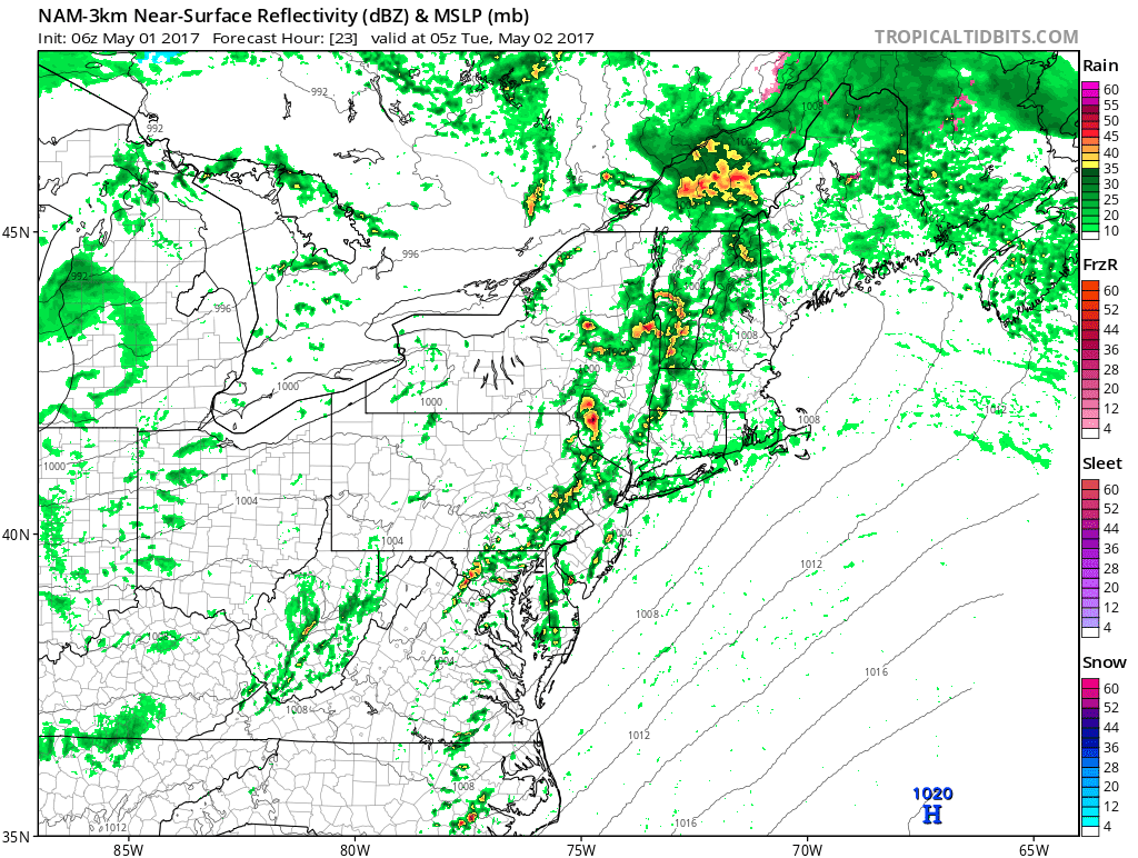
As we head into the rest of this week things will continue to be unsettled with more up and down weather.  Today will feature clouds with the chance of showers...


By tomorrow, the sun comes back out with temperature sitting in the mid 70's. This nice weather lasts into Thursday which will be a little cooler with temperatures in the low 70's due to a passing front Wednesday night.

Then the chop comes back as we head into the weekend. Friday will feature sun, but there is a chance at some showers and storm as we head into the afternoon as a front approaches...

For the weekend, a series of low pressure system will try to move through the region. This means the chances of unsettled weather are high. 

By the time we get to Saturday afternoon, the first low pressure wave moves through the north...


There may then be a break in the action until we get to later in the day on Sunday as a potential larger system is on its heals...

I still think we see sun on both days we just should have some showers to deal with as these impulses move through the region. 

So when does summer really arrive? Well, it still appears we have some time to go. The unsettled and cooler than normal pattern should continue into June. You can see the long range model projections below showing the cooler pocket over the east in the long range...

Eventually this pattern will break, but it has been remarkable how persistent it has been all spring. The heat will eventually come but until then expect more moderate temperatures with multiple chances at unsettled weather over the next 2 weeks. 

Friday, May 26, 2017

Memorial Day Weekend Update: Overall Not Bad

Good morning. As we all start the holiday weekend I thought I would give everyone a weather update.

Rain has moved out or the region and today for the most part isn't bad. Some afternoon showers are possible but nothing serious.

Tomorrow will be the nicest day with mostly Sunny skies and temperatures in the 70s.

Sunday starts off nice but clouds build as afternoon gets underway. Showers should enter the region by Sunday night and continue into Monday. Temperatures stay in the low 70s for this period.

So overall not too bad. Saturday is the day to be on the beach although it will be a little chilly. No outdoor activities should be impacted Sunday unless they run into the night and Monday just is not ideal.

Thanks for reading enjoy the weekend.

Monday, May 22, 2017

Monday Weekly Weather Summary: A Bumpy Ride

Good morning. Well I wish I had better news but it looks to be a very unsettled week weather wise. The good news is the Holiday weekend might end up being ok, or at least for the first half.

I am on a train to new York so I can not upload pictures, but will do my best to break it down.

Showers move into the region today as a frontal boundary sets up over the area. Expect periods of light to maybe moderate rain all day. Not a washout but not pleasant.

Tomorrow it is more of the same as a low pressure center tries to ride up the boundary. Expect some light rain to develop as the afternoon approaches.

By Wednesday things are clear with temperatures in the 70s.

The break doesn't last long however as more showers enter region on Thursday into Friday morning. This will be due to another frontal boundary moving through the area.

As we enter the Holiday weekend, things should be fine for Saturday and Sunday although clouds should start to build by Sunday afternoon as the next disturbance moves into the area. At this time Saturday looks to be nicest day of the weekend. Sunday will be a wildcard and Monday does not look ideal. 

Why so unsettled? It's all due to overall weather pattern at 18k feet. We have a lot of blocking high pressure to the north over eastern Canada and the Eastern Pacific. This is causing the jet stream to buckle underneigth which causes all the energy and unsettled weather to come along with it. 

I will have a weekend update out by Thursday morning.

That's all for now.


Tuesday, May 16, 2017

Tuesday Weather Update: Summer Like Weather Finally Arrives

Good morning. After a washout of a weekend we have the best weather of the season on tap today through the weekend.

A ridge of high pressure will develop over the area which means warm and humid conditions develop especially by Thursday...


Today will actually be the nicest weather overall if you do not like real hot weather with temperatures in the high 70s.

By Wednesday and Thursday the humidity moves in with temperatures in the upper 80's to low 90s. The heat then breaks by the weekend with temperatures moving back into the lower 80's Friday then low 70's Saturday as a cold front moves through.


We will also see some severe weather out in the plains today and tomorrow as that big upper level trough seen in image above moves through...

Believe it or not, the high peaks of the Rockies will also see snow with this system..


Thats all for now, more this weekend.

Friday, May 12, 2017

Friday Weekend Update: A Washout

Sorry for the bad news, but things are not looking good for the weekend.  A low pressure system approaches the area early tomorrow morning and brings with it a steady rain and temperatures in the low 50's...

This rain will continue throughout the day varying in intensity. By Sunday morning the storm is still hitting New England...

Things will try to clear from south to north Sunday afternoon. Clouds may start to break up causing sun to poke through at times, mainly south of New England...


When it is all said and done expect 1 to locally 2 inches of rain across the region...


The good news is things clear and warm up by next week. In fact by the middle to end of next week we might finally see those warm temperatures everyone has been so desperate for as the pattern finally flips...


More to come on this. 

Monday, May 8, 2017

Monday Weekly Weather Summary: A Winter Pattern in May

Good morning. So it has gotten quite interesting weather wise over the last several days. Many of you may be thinking what is up with this chilly May weather? If fact, as you wake up this morning it is in the high 30's to low 40's in many areas and highs will not break the 50's for most folks today.

This chilly pattern will continue all week and some mountain areas up in New England may even see some snowfall! So what is going on?

Well, we actually do have a winter pattern in May. Below you can see the upper air pattern...

Notice the red area over Greenland. That is called a -NAO pattern. It traps the jet stream underneath it and what happens is colder air is forced to pool up under it. In winter, a pattern like this would be producing rounds of cold and snowy weather. Since it is May, we are just left with colder than normal temperatures and unsettled weather.

Today, temperatures will be below freezing at 5000ft.....

We have a strong May sun, so the surface still warms up to the 50's but still that is very chilly for this time of year. 

Up in the mountains you can see snow showers developing in spots...


So when will this pattern break? We should start to see some relief by mid month, but I have a feeling its more around Memorial Day where any true summer like weather takes hold. 

Thats all for now. 

Monday, May 1, 2017

Monday Weekly Weather Summary: Warm today, Cooler Temps to Follow

Good morning, it ended up being a nice weekend overall. As we head into this week things will start off warm today with temperatures in the high 70's to low 80s. It will be mostly cloudy as a cold front will be approaching later tonight bringing with it showers and thunderstorms...


This will all clear out by Tuesday morning but things will be on the cooler side through the rest of the week as this air mass is quite chilly for this time of year. Expect highs on Tuesday to be in the low to mid 70's but temperatures will then move down to the low 60's for highs for the rest of the week.

You can see the cold airmass below...

We then run into more turbulence from Thursday night into Friday as a storm system will move into the area and can pack quite the punch with rain...


Friday looks to be a miserable day with periods of rain. This should try to clear out by Saturday however and spare the weekend with mostly clear skies and temperatures in the 60's. We will have to watch this closely as there is a chance it can linger into Saturday.

I will have a write up later this week breaking it down.