The highlight of this week will be the cooler than normal temperatures. Temperatures will be in the 70's and maybe even high 60's on Wednesday. This is due to cold Canadian air flowing into the region.
Today will clear up nicely with temperatures in the 70's.
Tuesday also looks to be a decent day with partly cloudy skies and a chance a an isolated shower or storm later in the day..

The rest of the week then stays tame with temperatures climbing slightly but still staying in the 70's with mostly sunny skies.
For the weekend, we need to watch out for showers and storms as a warm front will try to move up into the area. The question then becomes will a low pressure system try to form along this front causing rain issues for Sunday.
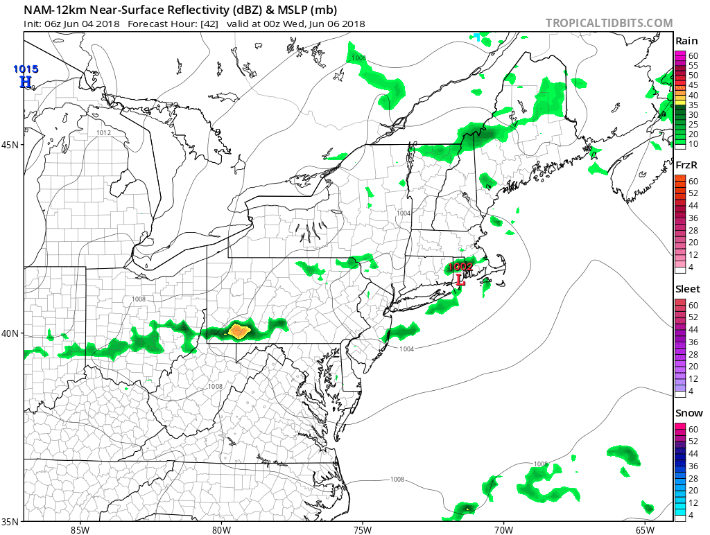
Right now the models are showing something can happen later on Sunday...

Overall not a bad week just cooler than normal. As the next few weeks progress, it looks like a continuation of this cooler than normal and unsettled pattern continues. As we enter late June and July, a normal summer pattern should take hold which should eliminate the chances of any rainstorms. Instead, we will see the normal pattern of afternoon showers and storms at times. Regardless, I do not see any big heatwaves on the horizon.
����
ReplyDeleteThanks!
ReplyDelete