Let me stop there. This does not mean a storm is guaranteed! All it means is that unlike before the soil, if I may use a farming analogy here, is much richer meaning we have a more favorable environment for storms to form. This pattern is so essential because it locks in the cold air and blocks storms from cutting into the lakes or out to sea in many cases.
Here is the European ensembles prediction of the upper air pressure pattern for days 5-9.

So now that we have a favorable and may I add colder weather pattern setting up for the rest of the month we can start to take storms threats more seriously.
It looks likely at this point that a storm will effect interior new england on Sunday night into Monday. I mentioned this yesterday. Here are latest model projections..
GFS

The European is much more agressive and actually is warmer due to it phaseing the storm earlier..
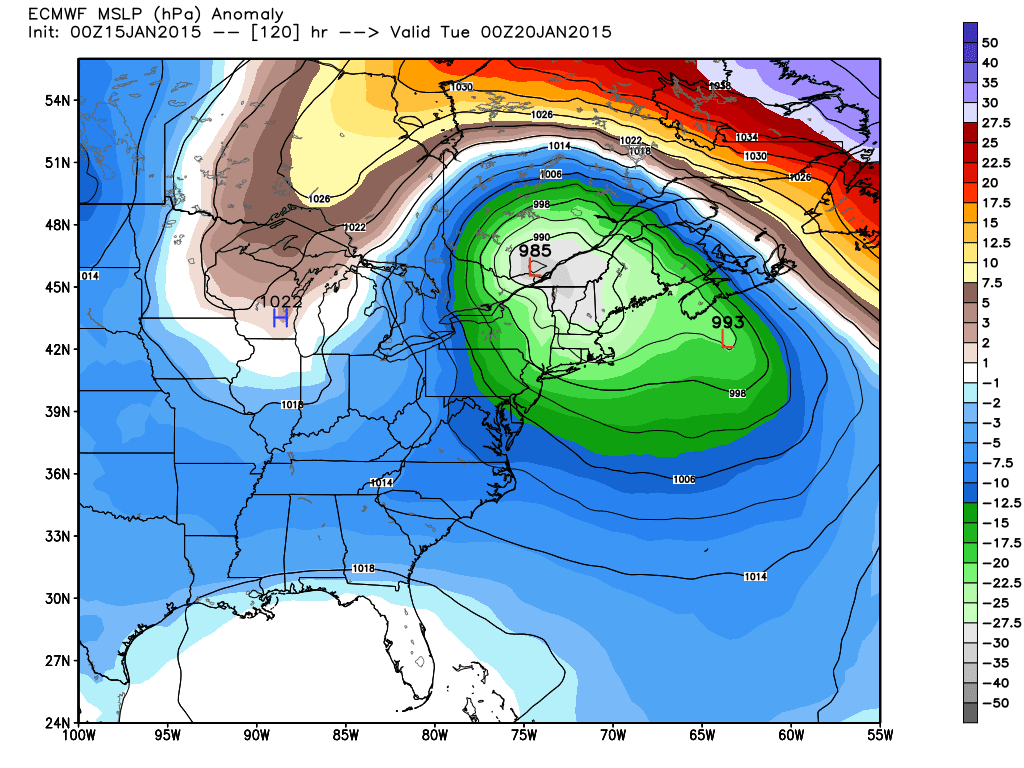
Very strong storm, but a warmer solution than the GFS. In this case extreme interior New England gets the snows.
I think right now you blend the two models and what your left with is a coastal storm that gives interior mountain snows. This is not a coastal snow threat at this time due to cold air leaving ahead of the storm. You can see below how warm air advances in on Saturday night due to a low pressure system north of Michigan dragging in a warm front..The non grey colors show warm air advancing.

Too bad that one factor is throwing this whole situation off. Regardless, I will be in Jay Peak VT skiing this weekend and im hoping I get lucky with this situation. This can change but right now I do not see a big snow threat for areas near the coast.
Moving on, looking at the very long range we have another threat to monitor for next weekend..

I am only showing this because I like the pattern. Obviously it is very far off and in no way is this a prediction. Just something to watch for now.
No comments:
Post a Comment