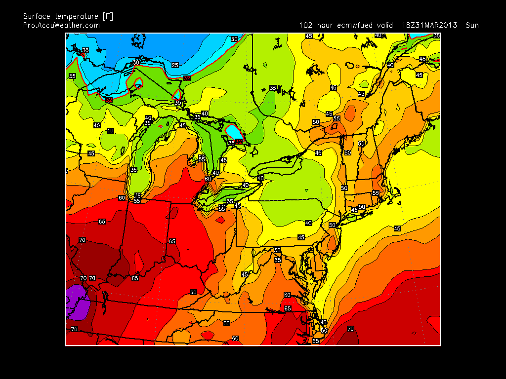
Looking ahead into the next three weeks, we will see slightly below average temps overall, with chances at precipitation early and late next week. I think next week will be the winters last attempt to give the country winter style storm setups mainly in the interior northeast. For Easter Sunday the weather should be beautiful with temps in the mid to high 50's.
In the wake of Easter, a storm system will develop and spread a cold rain through our region on Monday, with some snow up in VT and NH. After this unsettled weather, all eyes will be on a possible costal storm for that Friday. This is our last shot at a storm that in theory could produce snow for our area (do not bet on it at this point). Here is what we are looking at...

There are two separate disturbances that want to develop...one coming from central Canada and another in the gulf (circled areas). Depending on the speed and timing of these low pressure areas they have the potential to merge along the east coast. Given the strong ridge projected in the west (positive PNA) and the high pressure to the north in Greenland (negative NAO) this usually results in storms coming up the east coast. I have marked all these areas on the map above. Also, if you look just off the coast of California you can see a deep tough (blue and green colors) usually if you have a deep trough like that off the west coast the same occurs just off the east coast. The model however is showing the east coast through not as intense (no green mixed in with the blue). I think with time either both will be weak or both will be strong. The latter would produce a big storm. We are 10 days out and one or all of these factors can change and result in no storm or a bigger storm than what is shown. Snow would not be out of the question with the more extreme solution. I will keep you updated on this..
So when is spring coming? I think after next weekend spring will be here. There is evidence that temps will snap into the 60's and possibly 70's for the week of April 7th due to a strong high pressure system sliding down into the center of our country.
In summary:
1. Nice Easter weekend
2. Rain on Monday
3. Possible big storm on the following Friday (snow not out of question)
4. Week of April 7th spring temps will arrive.
Thanks for checking in.
No comments:
Post a Comment